ABOVE WISCONSIN PORTFOLIO
Madison Wisconsin Drone Photography
Capital city aerial visuals built for Wisconsin storytelling, tourism, and location-forward content.
Location
Madison, Wisconsin
Project Type
Tourism, city, community landmarks
Media Focus
Tourism & Destinations, Events & Community
Useful For
Madison destination visuals, Wisconsin tourism content, City and landmark media
Tags
Tourism & Destinations | Events & Community | Drone Photography | Madison
Project Media Preview
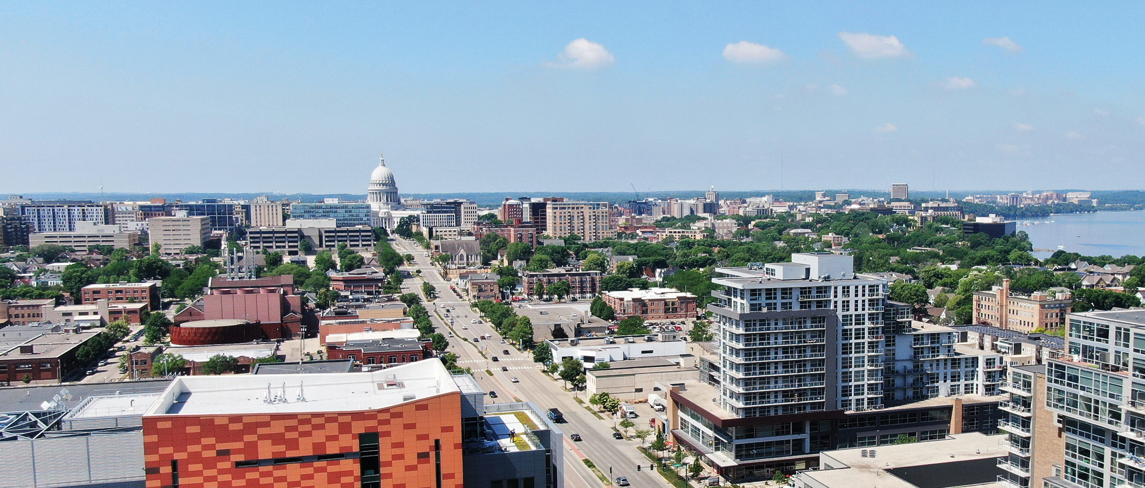
Featured Aerial View
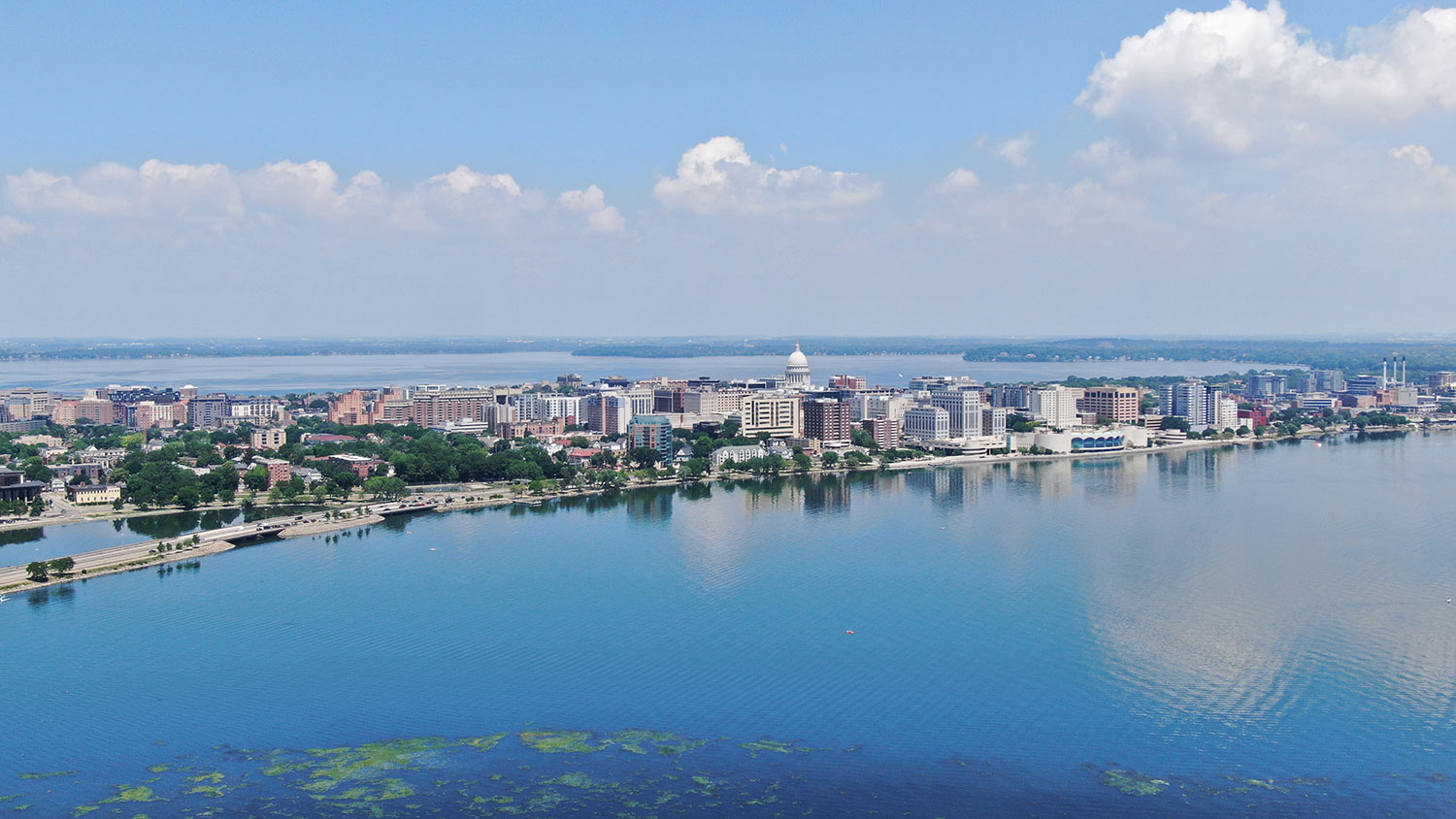
Project Perspective
Site Context
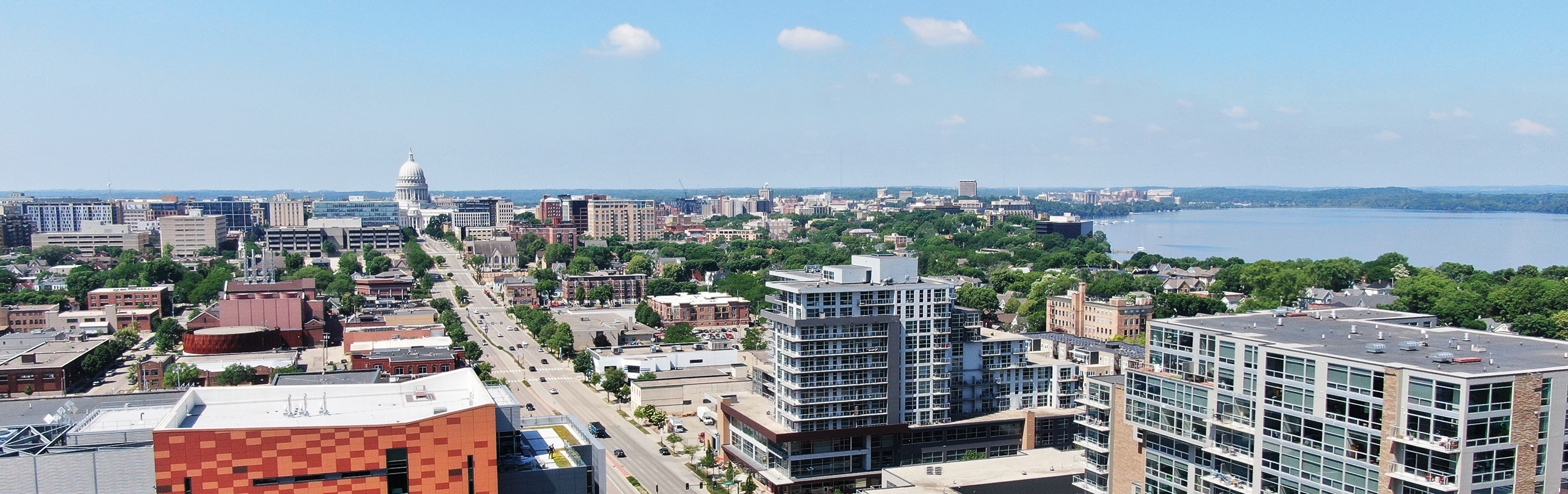
Additional Project View
THE NEED
City Context
Madison has recognizable landmarks, water, neighborhoods, and city texture. The challenge is turning that into a useful visual story that feels polished but still grounded in place.
THE APPROACH
What Above Wisconsin Captured
Above Wisconsin captured aerial media that shows Madison from above, supporting destination content, local storytelling, social media, and Wisconsin brand visuals.
Media Uses
- Madison destination visuals
- Wisconsin tourism content
- City and landmark media
- Social and web storytelling
WHY IT MATTERS
Connecting Madison’s Landmarks, Water, and Neighborhoods
Madison aerial photography brings the city’s water, landmarks, neighborhoods, and broader layout into one location-focused view. The media can support Wisconsin tourism content, community storytelling, city and landmark pages, and social posts.
START YOUR PROJECT
Start With the Project Basics
Send the location, timeline, project type, and intended use. Above Wisconsin will help shape the right drone photo, video, or editing plan before you commit to a shoot.
Helpful details
Location | Timeline | Project type | Photos or video | Intended use | Site access notes