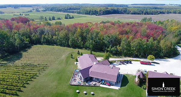
Door County Drone Pilot Services
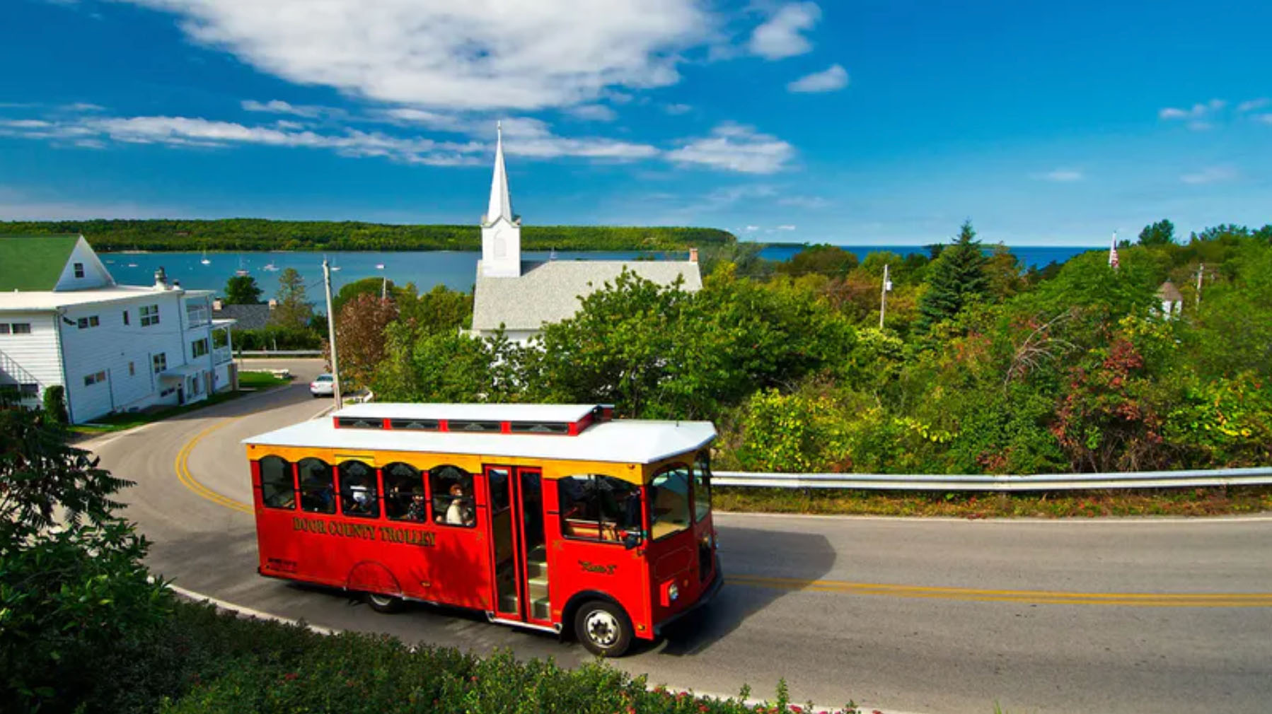
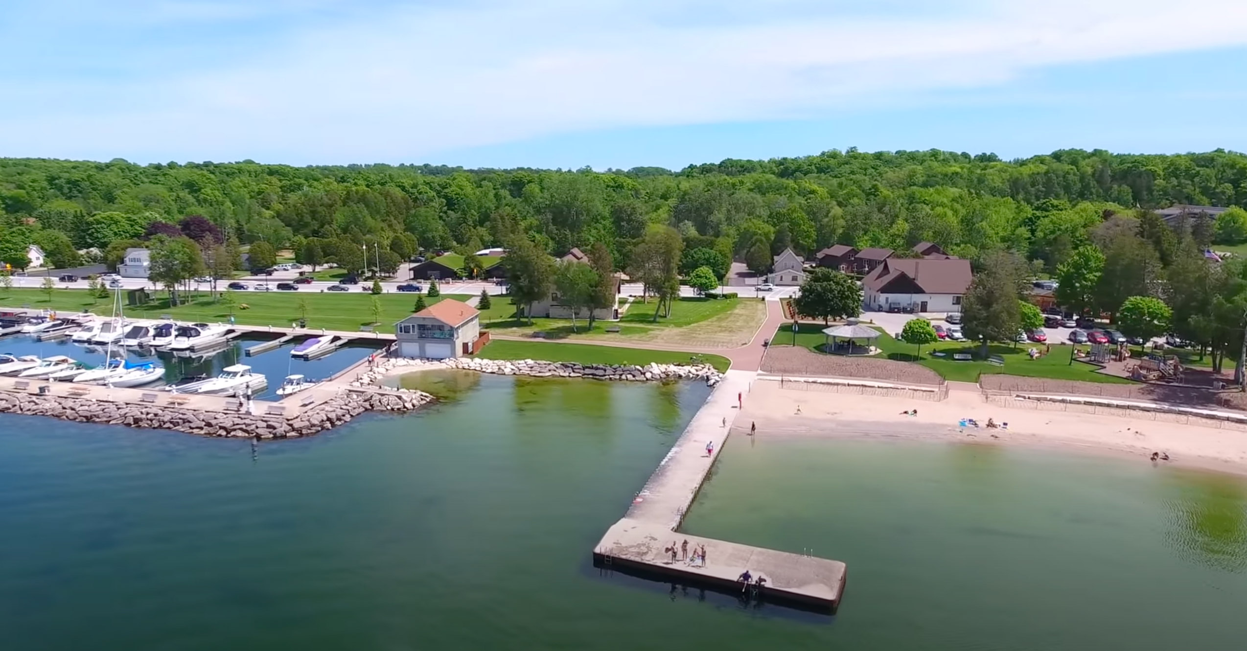
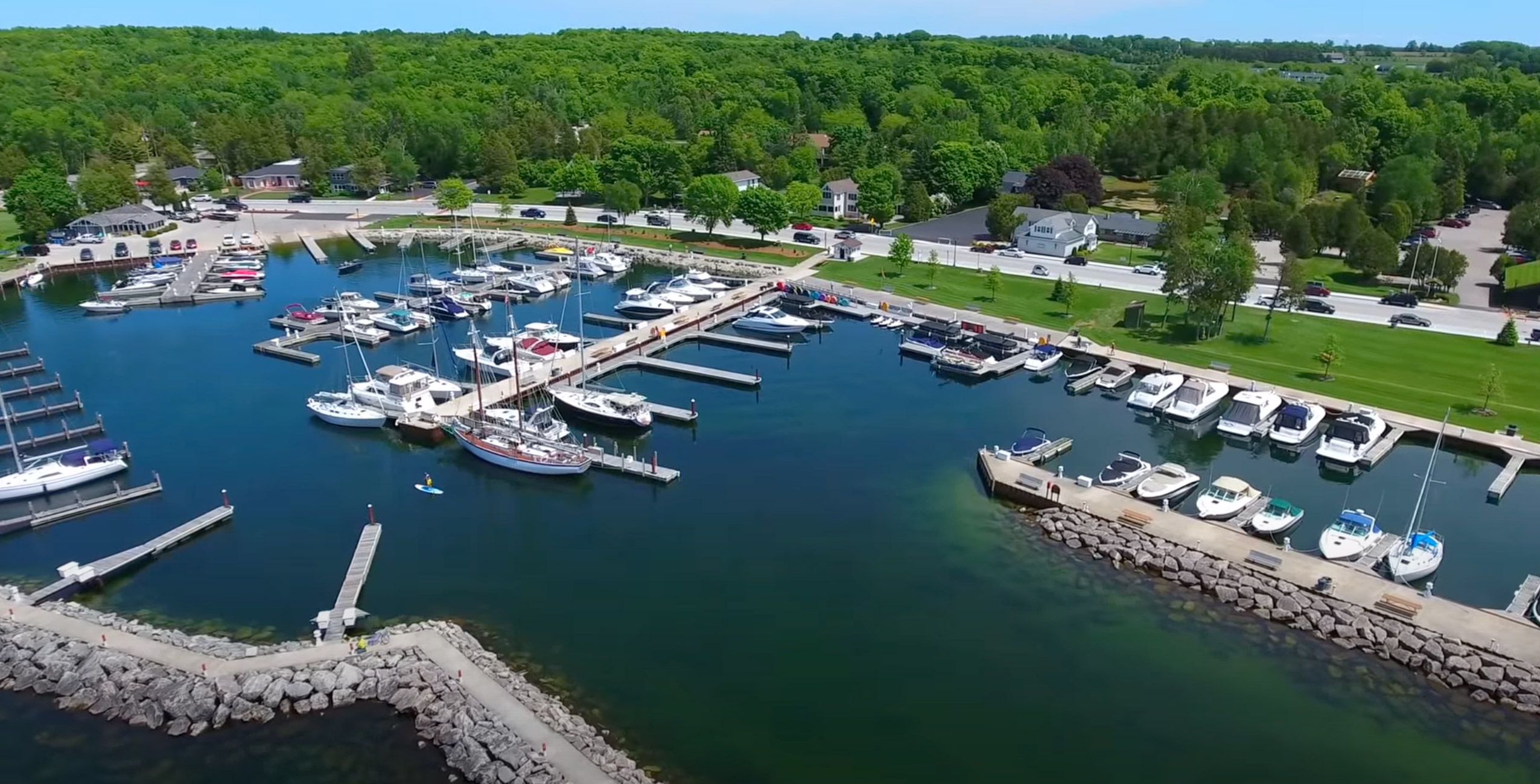
Door County is a beautiful area in Wisconsin that is known for its stunning natural scenery and picturesque landscapes.
There are a few key things you should keep in mind when hiring a Door County Drone Pilot. First and foremost, it’s important to understand the regulations and guidelines surrounding drone use in Door County Wisconsin. This includes things like obtaining the necessary permits and licenses, as well as adhering to FAA guidelines for safe and responsible drone operation. Above Wisconsin offers FAA Licensed drone operations in Door County. Some of the major towns and cities in Door County, Wisconsin include Sturgeon Bay, Fish Creek, Ephraim, Little Sturgeon, Jacksonport, Sister Bay, Brussels, Forestville, Ellison Bay, Egg Harbor, Washington Island, Gills Rock, Carlsville, Institute, North Bay, Peninsula Center, Juddville, Rowleys Bay, Idlewild, Maplewood, Salona, Gardner, Valmy, Chambers Island, and Baileys Harbor. Each of these towns has its own unique charm and attractions, making Door County a popular destination for tourists and locals alike.
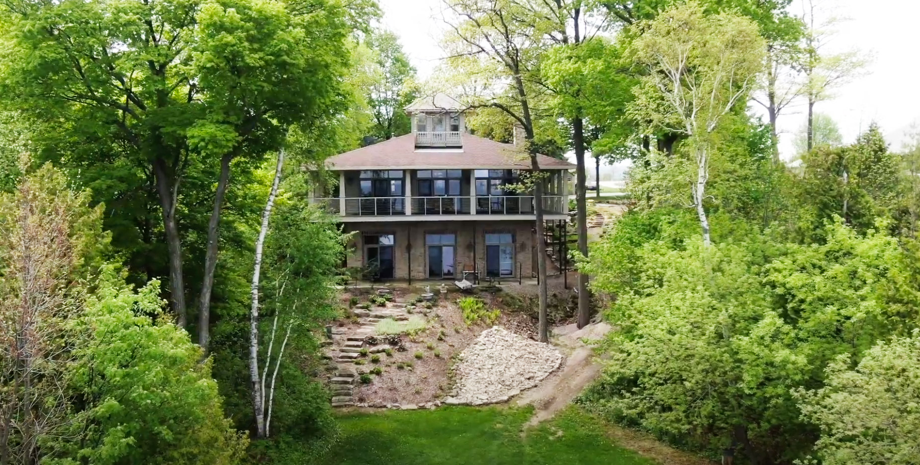
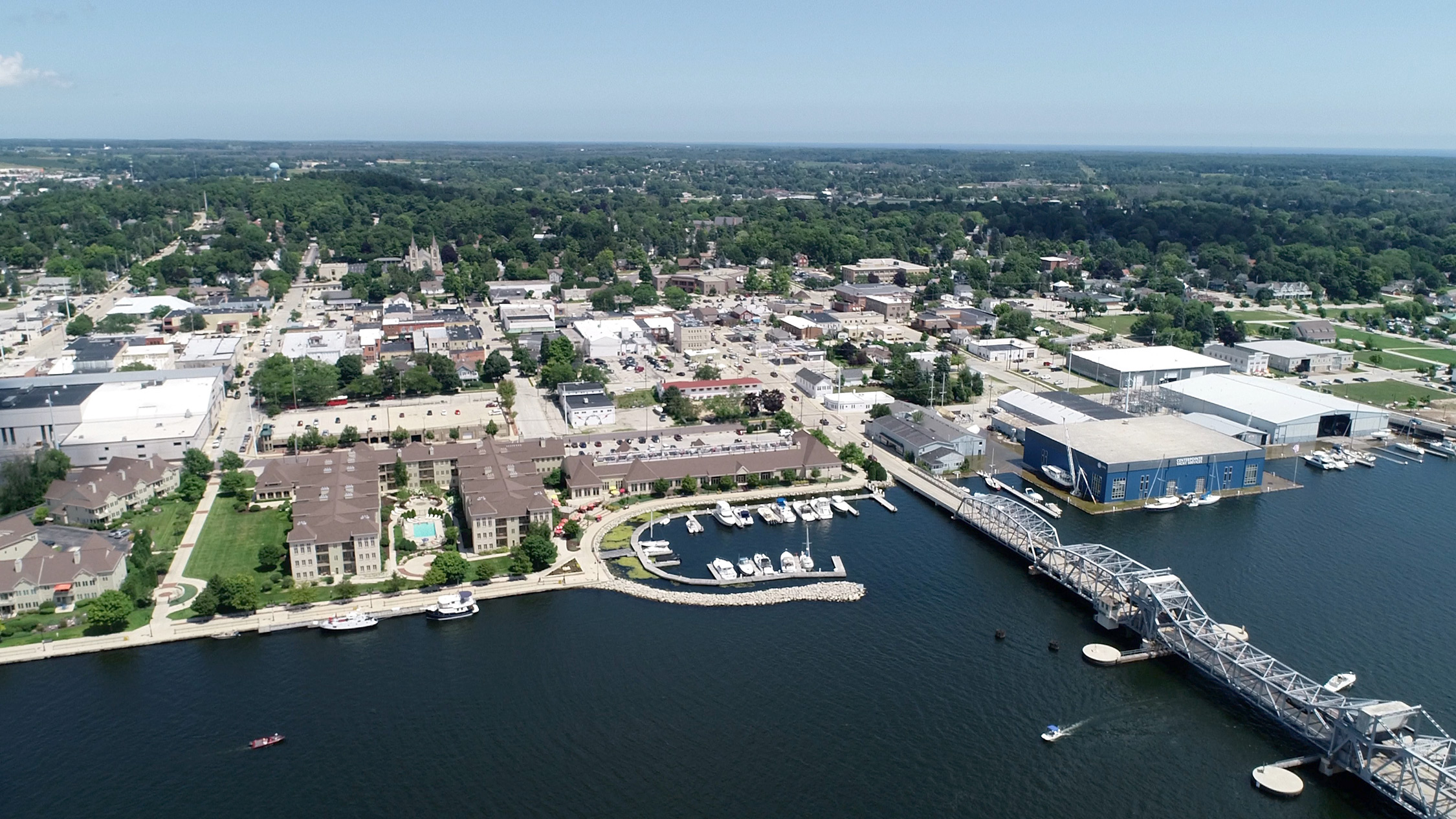
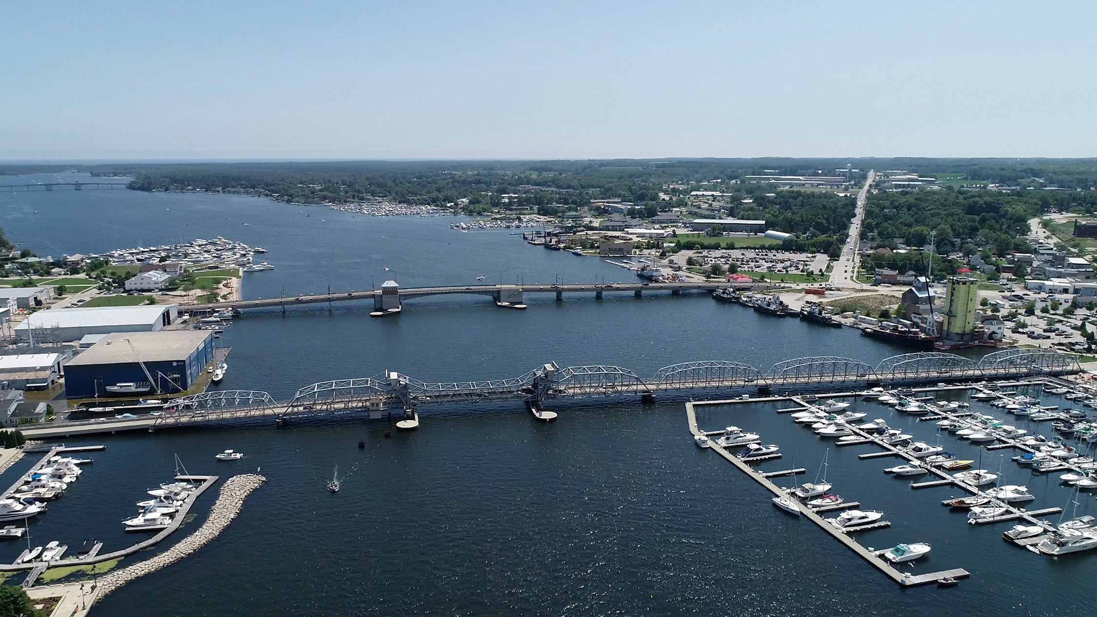
In terms of specific drone services that are available from Above Wisconsin in Door County, there are a number of different options to choose from. We specialize in aerial photography, videography, inspections, monitoring services for things like construction sites and agricultural fields. We also offer professional video & photo editing services with Final Cut Pro & Photoshop. Are you a Door County Real Estate professional looking to sell a multi-million dollar home or cottage? A drone video from Above Wisconsin can help you do that.
When it comes to choosing a drone pilot service in Door County, it’s important to do your research and find a provider who has the necessary experience and expertise to meet your specific needs. Look for a provider who has a strong track record of success, as well as positive reviews and testimonials from past clients.
Overall, Door County is a great place to explore the world of drone pilot services. With its stunning natural beauty and growing demand for aerial photography and videography, there are plenty of opportunities for drone pilots to thrive in the area. So if you’re looking to capture the beauty of Door County from above, contact Above Wisconsin today at 920-562-9770 or fill out our drone services quote request!
-
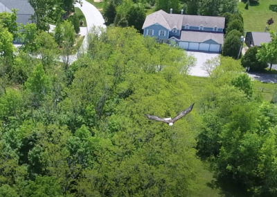
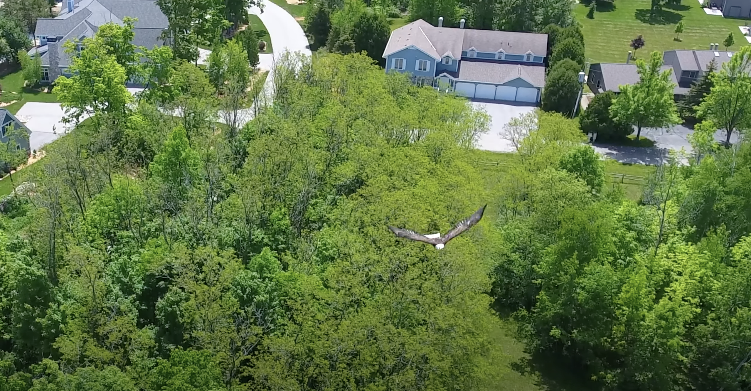
Eagle - Door County
-
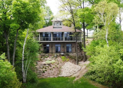
Door County Drone Services
-

Door County Drone Pilots
-
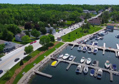
Door County Drone Operators
-
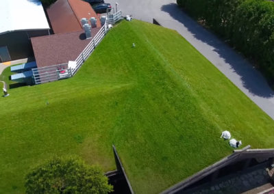
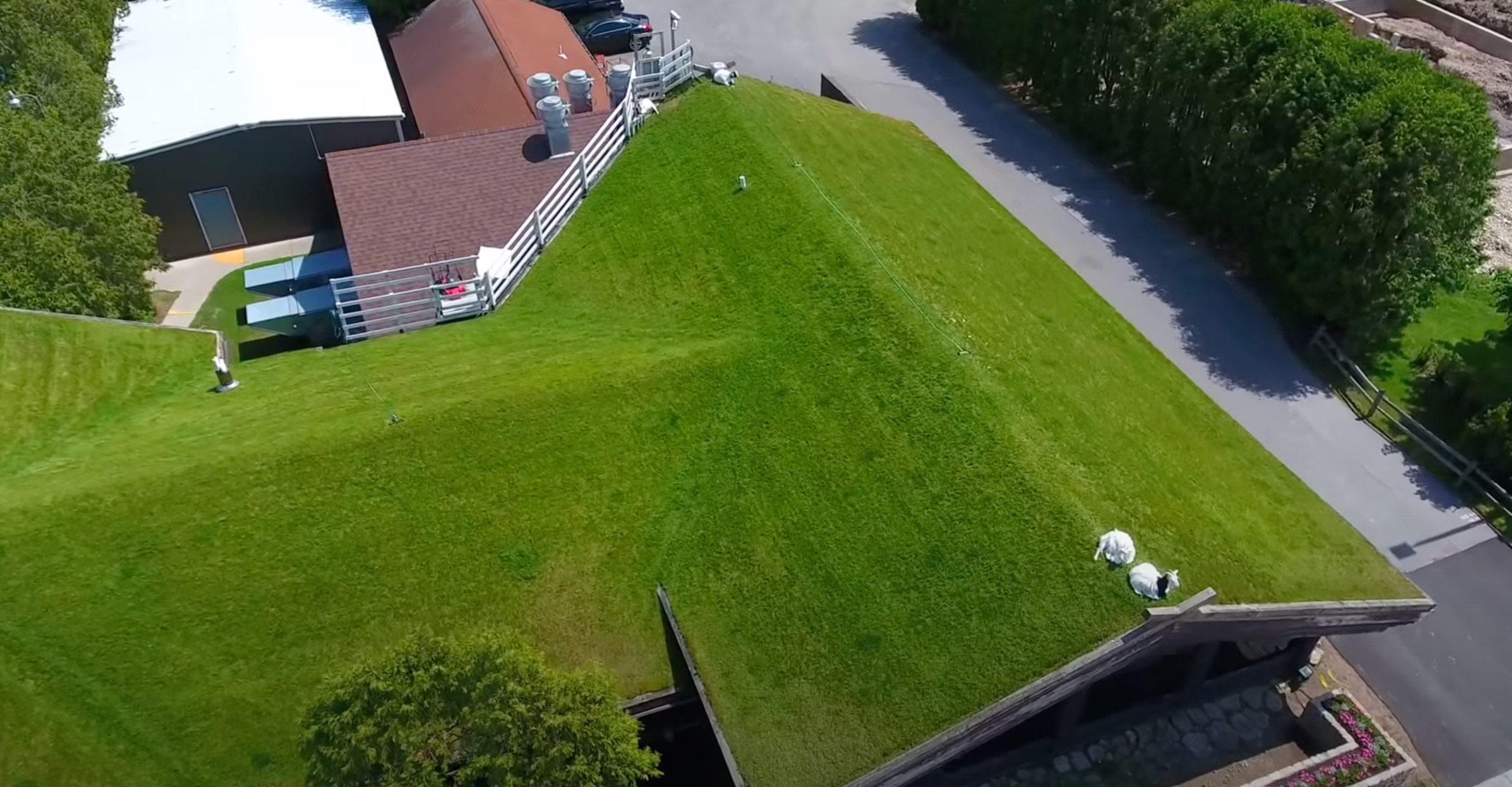
Al Johnsons - Door County
-
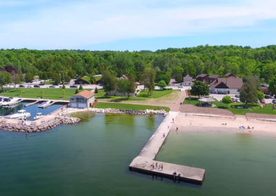
Door County Drone Photos
-
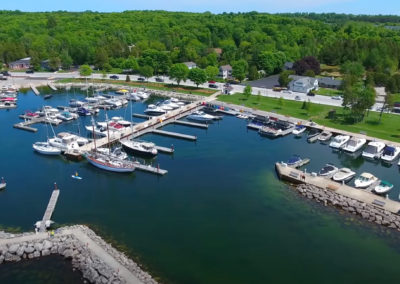
Door County Drone Pilot
-
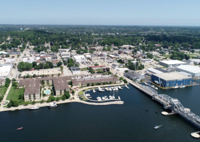
Sturgeon Bay Drone Pilot
-
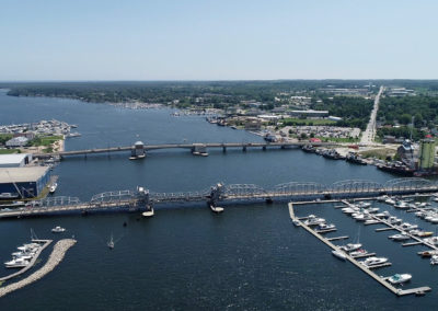
Door County Sturgeon Bay
-
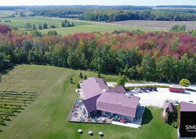
Simon Creek Door County
-
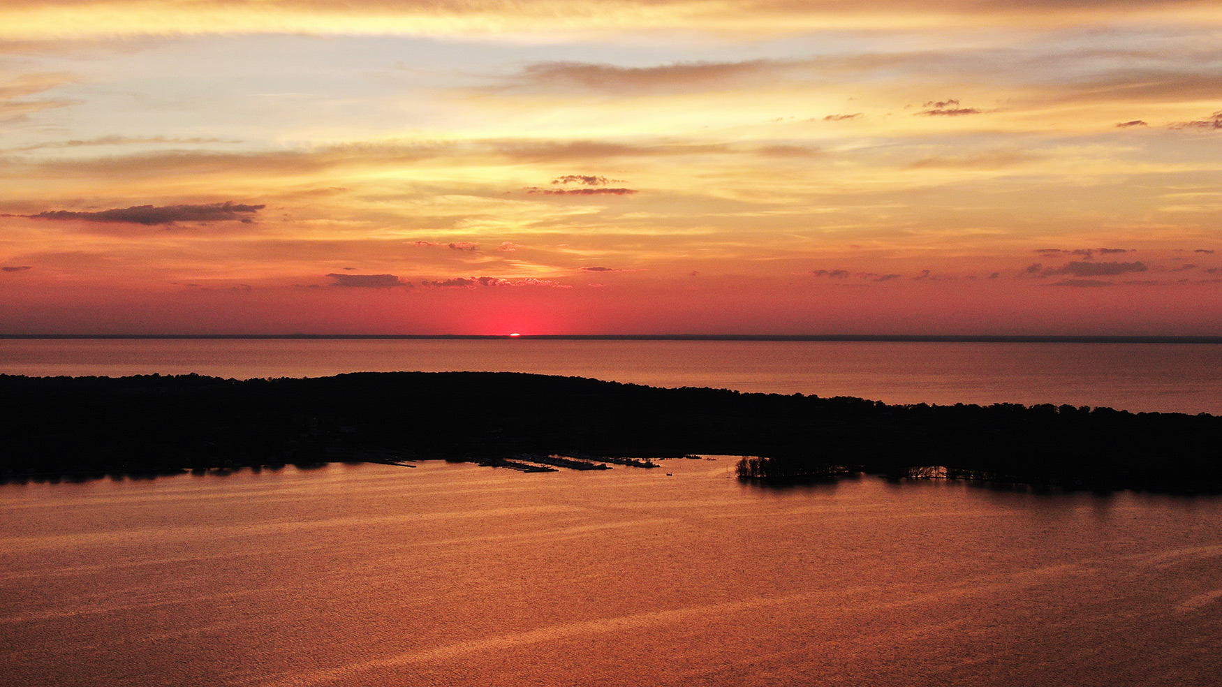
Little Sturgon Door County
-
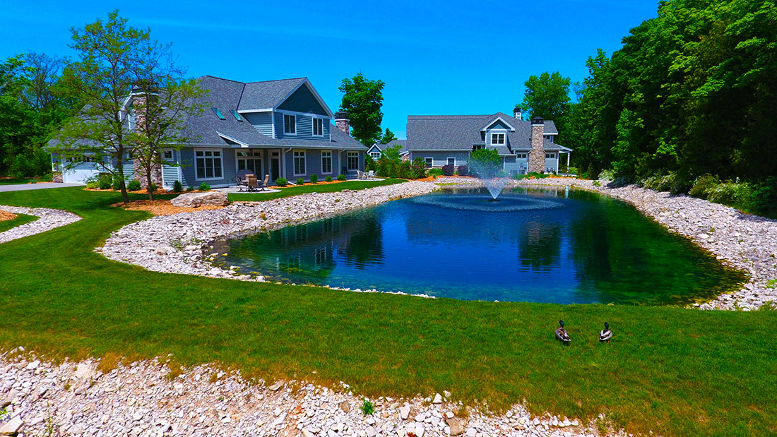
Condos Door County
-
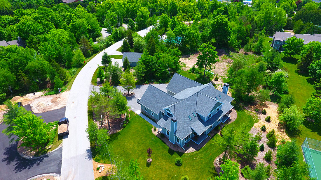
Door County Drone Operator
-

Tall Ships Door County
-
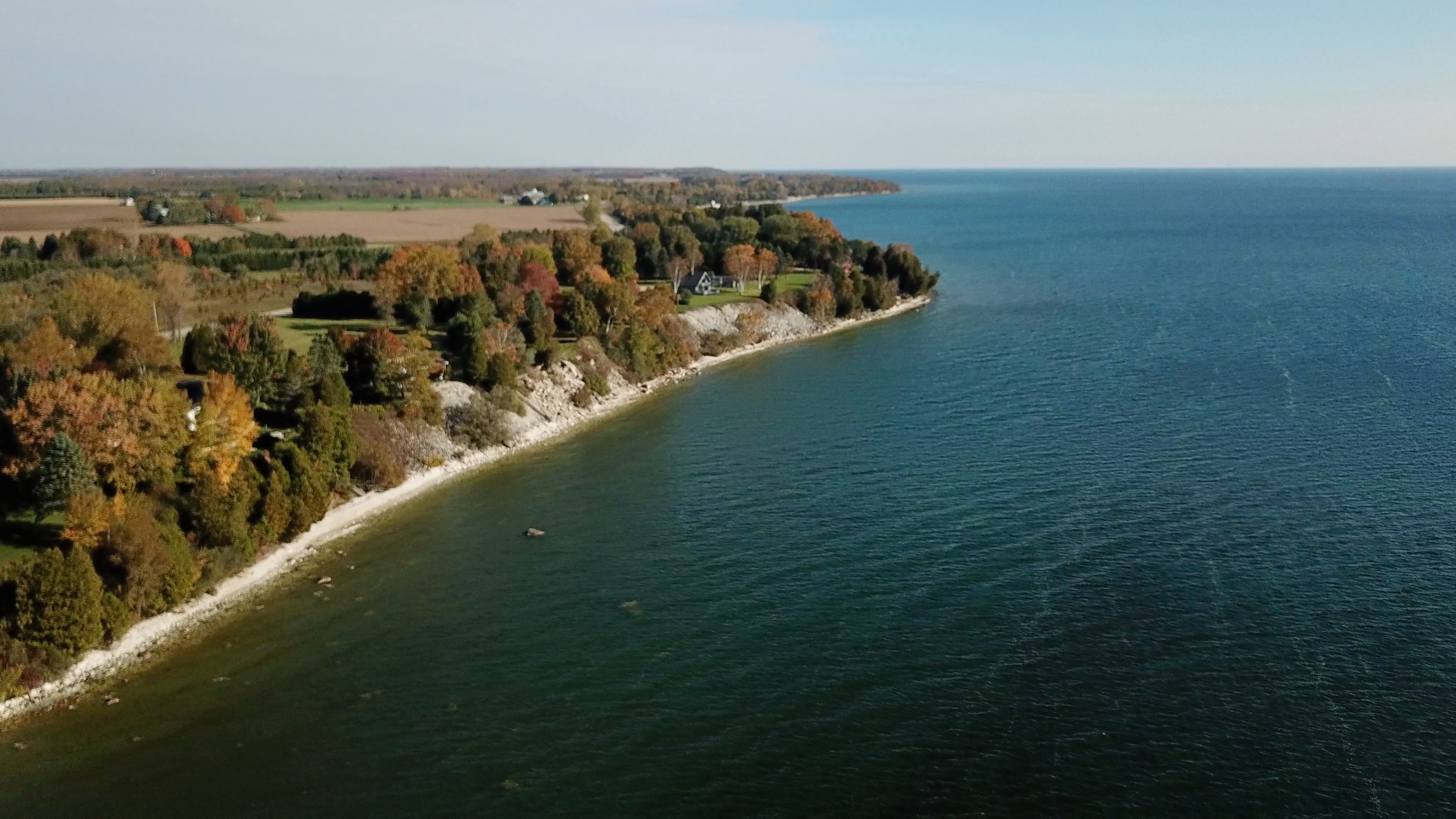
Door County • Wisconsin Drone
-

Brussels Wisconsin
-
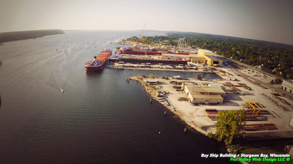
Door County • Gmichael
-
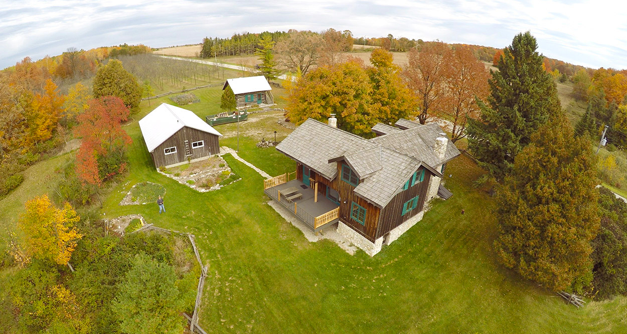
Door County Drone Operator
-
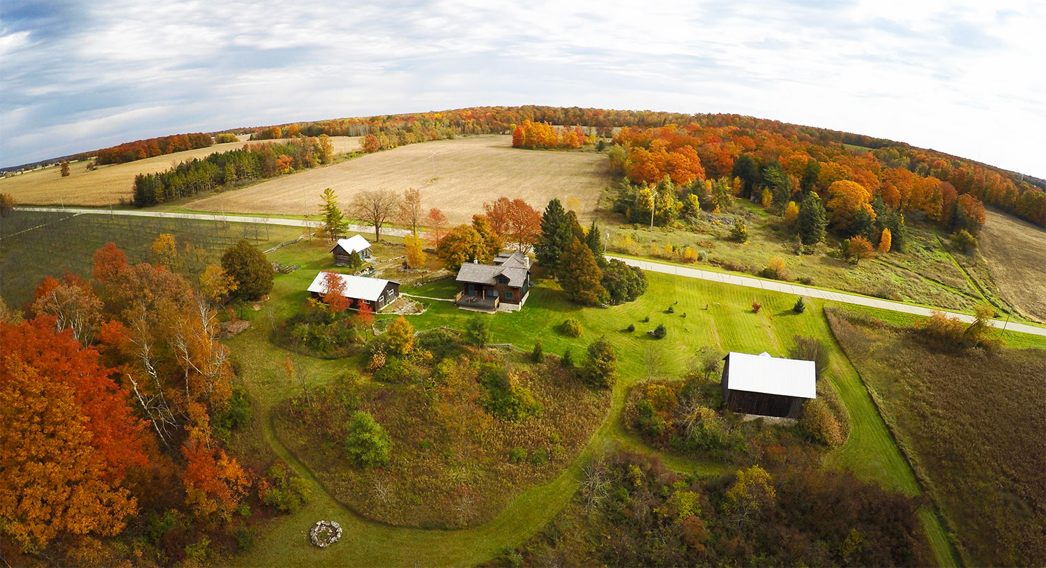
Door County Real Estate